↓
JAVASCRIPT IS DISABLED. Please enable JavaScript on your browser to best view this site.
Montgomery Land Surveying
Search for:
Land Surveying in Montgomery, Montgomery County, Alabama
Montgomery Land Surveying
Home
ALTA Survey
Boundary Surveying
Construction Survey
Drone LiDAR Mapping
Elevation Certificate
Land Surveying
Lot Survey/Closing Survey
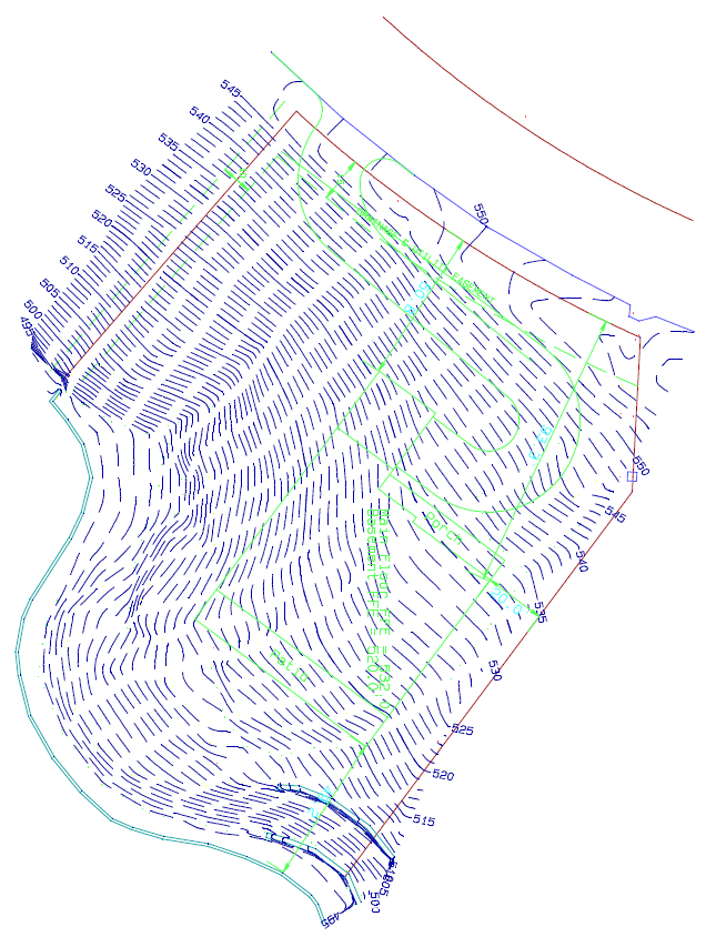
Topographic Survey
Civil Engineering
Expert Witness
Elevation Certificate – LOMA
Contact Us
Home
→
Services
→
final_topo_survey_map
Image navigation
← Previous
final_topo_survey_map
Published
July 5, 2011
at
636 × 853
in
Services
Image navigation
← Previous
↑