↓
JAVASCRIPT IS DISABLED. Please enable JavaScript on your browser to best view this site.
Montgomery Land Surveying
Search for:
Land Surveying in Montgomery, Montgomery County, Alabama
Montgomery Land Surveying
Home
ALTA Survey
Boundary Surveying
Construction Survey
Drone LiDAR Mapping
Elevation Certificate
Land Surveying
Topographic Survey
Civil Engineering
Expert Witness
Elevation Certificate – LOMA
Contact Us
Blog
Home
→
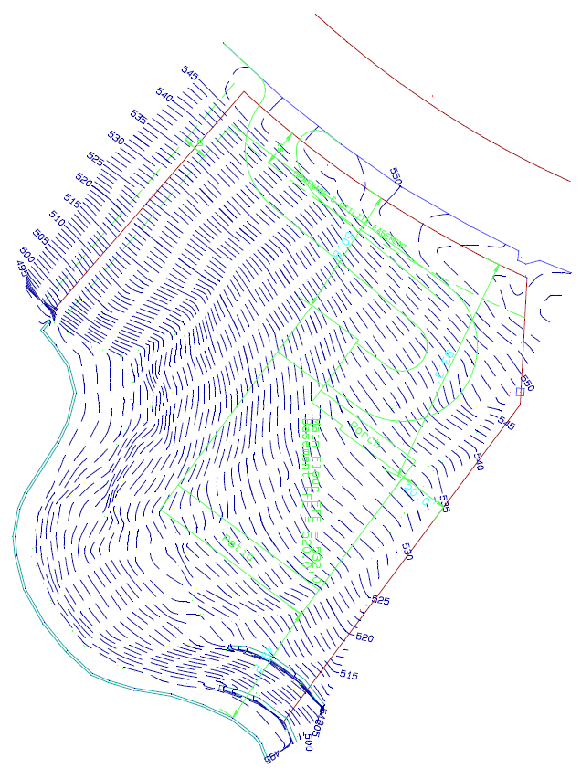
Topographic Survey
→
final_topo_survey_map
Image navigation
← Previous
Next →
final_topo_survey_map
Published
May 12, 2011
at
636 × 853
in
Topographic Survey
Image navigation
← Previous
Next →
↑